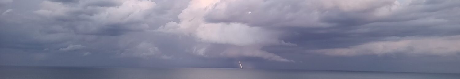
Everybody Talks About the Weather But Storm Spotters Do Something About It. Fear is Not an Option!
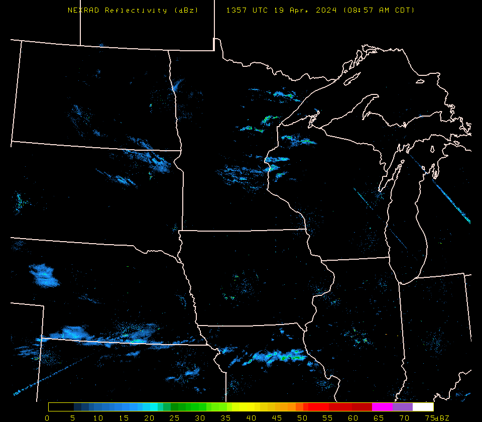
National Nexrad Radar Loop from UW -Madison
NWS Milwaukee’s 2024 Storm Spotter Training Schedule!
Weather Ready Spring Safety Info
MIDWEST RADAR COMPOSITE
NATIONAL WATCHES AND WARNINGS

Day 1 Convective Outlook

Day 2 Convective Outlook

Current Conductive Watches

Mesoscale Discussion
